 Sale!
Sale! The two distinct ecosystems of the Colorado Desert and the Mojave Desert meet in southeastern California in the Joshua Tree National Park. National Geographic's Trails Illustrated map of the park delivers unmatched detail and valuable information to assist
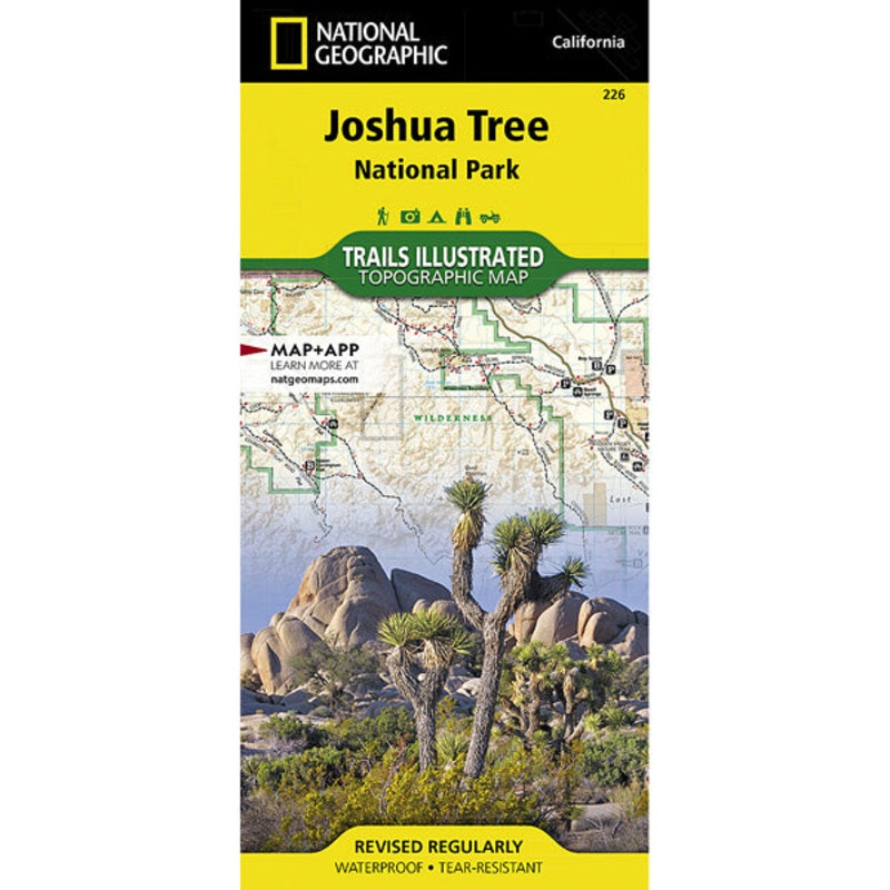
The two distinct ecosystems of the Colorado Desert and the Mojave Desert meet in southeastern California in the Joshua Tree National Park. National Geographic’s Trails Illustrated map of the park delivers unmatched detail and valuable information to assist you in your exploration of this fascinating land of surreal geologic features shaped by strong winds, unpredictable torrents of rain, and climatic extremes. Created in partnership with local land management agencies, this expertly researched map features key areas of interest including Black Rock Canyon, Lost Horse Valley, Indian Cove, Cottonwood, Chuckwalla Valley, and the Pinto Mountains.
With miles of clearly marked trails that include mileages between intersections, this map will prove invaluable in your exploration of the park. The map base includes contour lines and elevations for summits and passes. Interesting information about the park, regulations, and safety tips are included as well. Recreation features are clearly marked, including interpretive trails, campgrounds, picnic areas, points of interest, horse camps, and more.
Cost - $25
Free Shipping We offer free shipping on orders over $30. Please check the free - shipping eligibility at checkout.
Delivery Time It usually takes [3-5] business days for standard shipping. Please note that this is an estimated time frame and may be affected by local holidays, and unforeseen circumstances.


Reviews
There are no reviews yet.