 Sale!
Sale! Expertly researched and created in partnership with local land management agencies, National Geographic's Trails Illustrated map of Grand Teton National Park provides an unparalleled tool for exploring this magnificent region. This map offers unmatched det
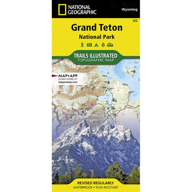
Expertly researched and created in partnership with local land management agencies, National Geographic’s Trails Illustrated map of Grand Teton National Park provides an unparalleled tool for exploring this magnificent region. This map offers unmatched detail of the entire park and features key areas of interest including Jackson Hole, Jackson Lake, Colter Bay Village, Jenny Lake, Phelps Lake, Teton Crest Trail, Bridger-Teton National Forest, Caribou-Targhee National Forest, Gros Ventre Wilderness, Jedediah Smith Wilderness, and John D. Rockefeller Jr. Memorial Parkway.
With almost 250 miles of mapped trails in some of the most breathtaking scenery in the entire country, the Grand Teton National Park map can guide you off the beaten path and back again. The trails are clearly marked to help with navigation for backcountry explorers. Suggested backpacking trips, weather and safety tips, and information about other recreation activities are included to help guide you in enjoying all the park has to offer. The map base includes contour lines and elevations for summits, passes and major lakes. The bathymetry of Jackson Lake is shown with both contours and hill shading. Some of the many recreation features include: campgrounds, trailheads, parking lots, scenic overlooks, interpretive trails, and backcountry camping zones.
Cost - $25
Free Shipping We offer free shipping on orders over $30. Please check the free - shipping eligibility at checkout.
Delivery Time It usually takes [3-5] business days for standard shipping. Please note that this is an estimated time frame and may be affected by local holidays, and unforeseen circumstances.


Reviews
There are no reviews yet.