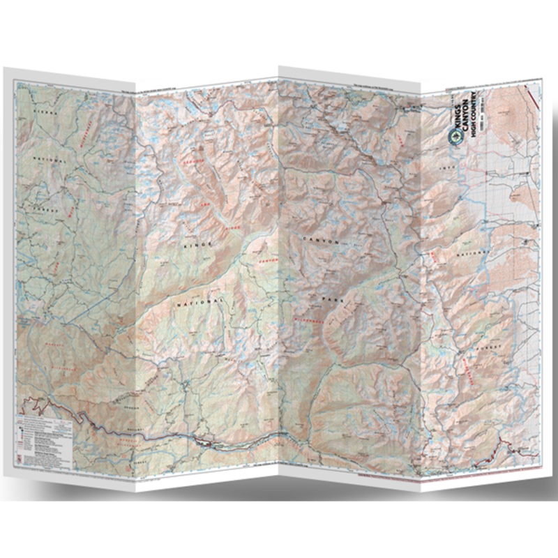
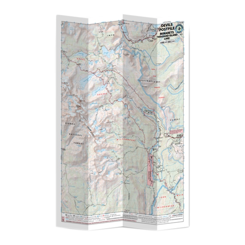
Limited Time Offer Get 50% Discount on your order

X
Kings Canyon High Country Sale!

Kings Canyon High Country

$10.95 $8.76

Explore miles of trails through the deep valleys and huge sequoia trees of Kings Canyon National Park with the Tom Harrison Cartography Kings Canyon High Country trail map.Covers the areas of Cedar Grove; LeConte Canyon; Sixty Lakes and Blackcap basins; Pa

  • Unconditional Satisfaction Guarantee
  • No Shipping Fees Above 30
  • 2 Months to Decide. Returns Simplified.
Color:
Size:
Quantity:
- +
SKU: XXYI55048874141
Category:

Explore miles of trails through the deep valleys and huge sequoia trees of Kings Canyon National Park with the Tom Harrison Cartography Kings Canyon High Country trail map.

  • Covers the areas of Cedar Grove; LeConte Canyon; Sixty Lakes and Blackcap basins; Paradise, Crown and Tehipite valleys; and Kearsage, Glen, Pinchot, Mather and Muir passes
  • Full-color shaded-relief topographic map on high-quality tear- and water-resistant paper; folds up easily and is easy to read in all conditions
  • Tom Harrison maps include color-coded symbols and trails, mileage between trail junctions, UTM grids, contour lines, vegetation and elevations at trail junctions
  • Folded Dimensions: 7.4 x 4.3 x 0.2 inches
  • Unfolded Dimensions: 37 x 26 inches
  • Map Scale: 1:63,360
  • Double Sided
  • Waterproof

Reviews

There are no reviews yet.

Be the first to review “Kings Canyon High Country”

Your email address will not be published. Required fields are marked *

  • Cost - $25

  • Free Shipping We offer free shipping on orders over $30. Please check the free - shipping eligibility at checkout.

  • Delivery Time It usually takes [3-5] business days for standard shipping. Please note that this is an estimated time frame and may be affected by local holidays, and unforeseen circumstances.